(2020 - ongoing)
Integrated Regional Water Management
Arundo Mapping and Planning Project
Project Scope
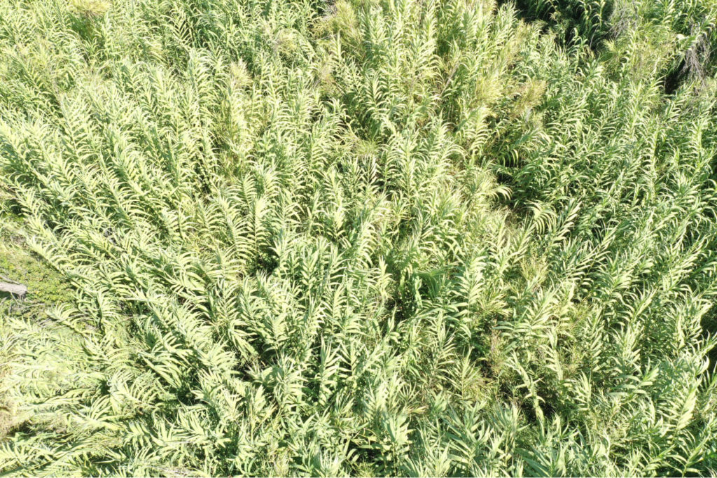
This project develops a comprehensive process to prioritize removal and management of giant reed (Arundo donax) in the Santa Clara River (SCR) watershed and consists of three stages:
- process and analyze existing remote sensing Light Detection And Ranging (LiDAR) data to map current vegetation status, prioritize locations for weed management, and characterize distribution of non-native (and native) vegetation and physical traits in the SCR floodplain, with site surveys to validate vegetation classification for distinct polygons
- create a tool to guide site prioritization for giant reed removal
- implement giant reed removal on the resulting high-prioritized site locations of at least 10 acres (eventual acreage is contingent on pending funding requests)
Remote sensing can identify the location and extent of giant reed infestation and determine soil, vegetation, and moisture conditions that influence restoration success.
Partnerships
The project is in partnership with the City of Santa Clarita, University of California Santa Barbara, and Stillwater Sciences.